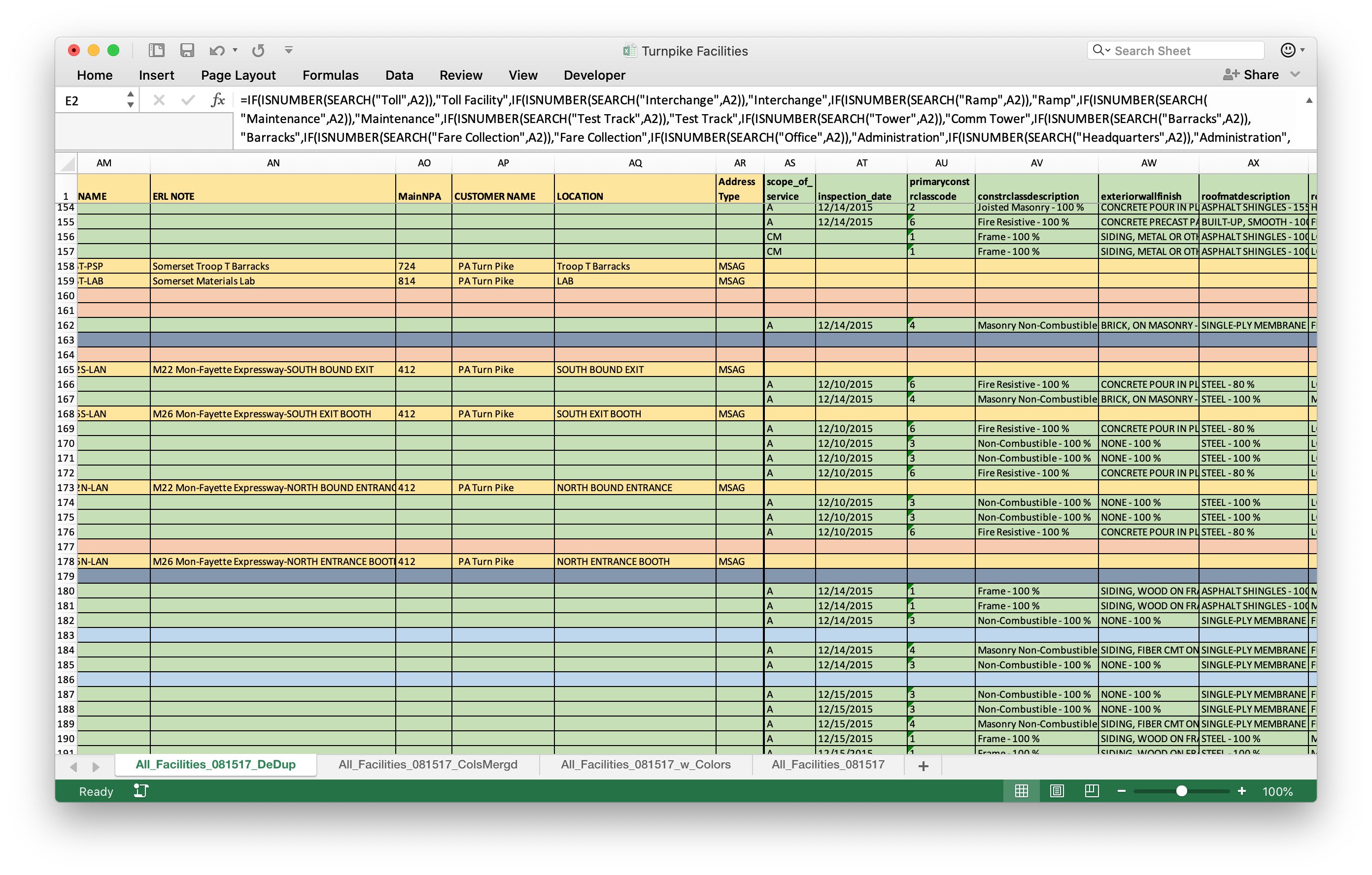
Work Sample: Turnpike Facilities
As a planning intern at Michael Baker International, I cleaned and formatted data about Pennsylvania Turnpike facilities in Excel. I used formulas extensively to extract attributes, categorize entries, and apply conditional formatting.
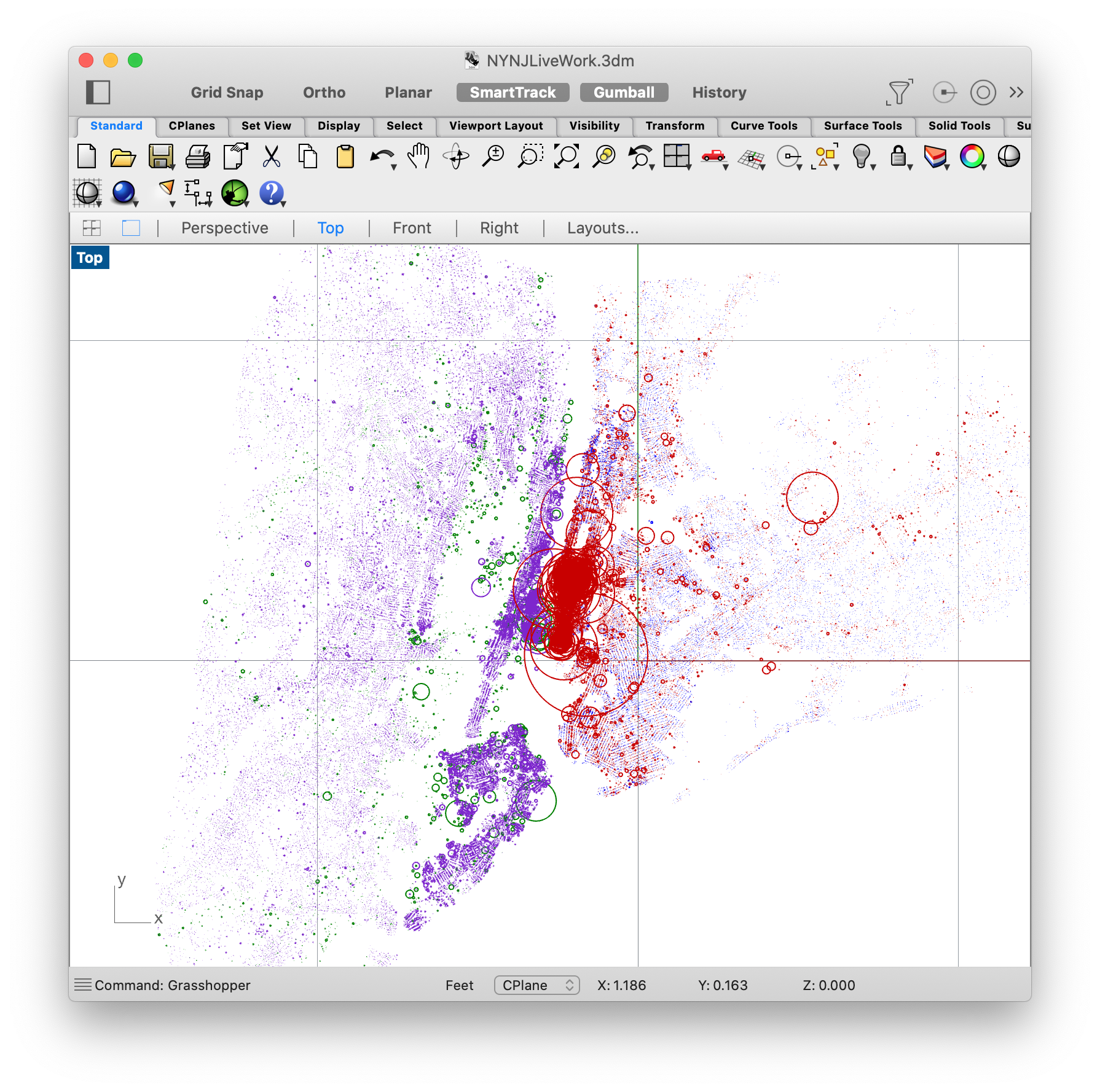
Work Sample: Commuting Across the Hudson
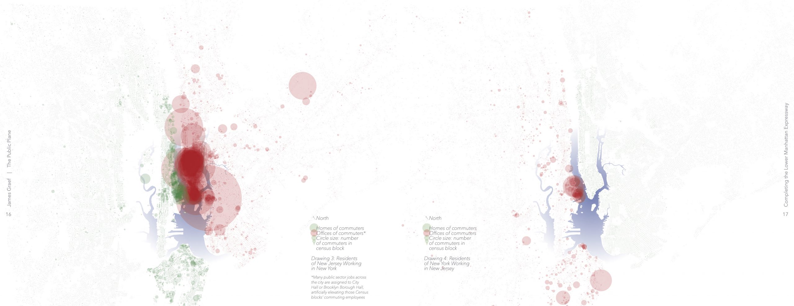
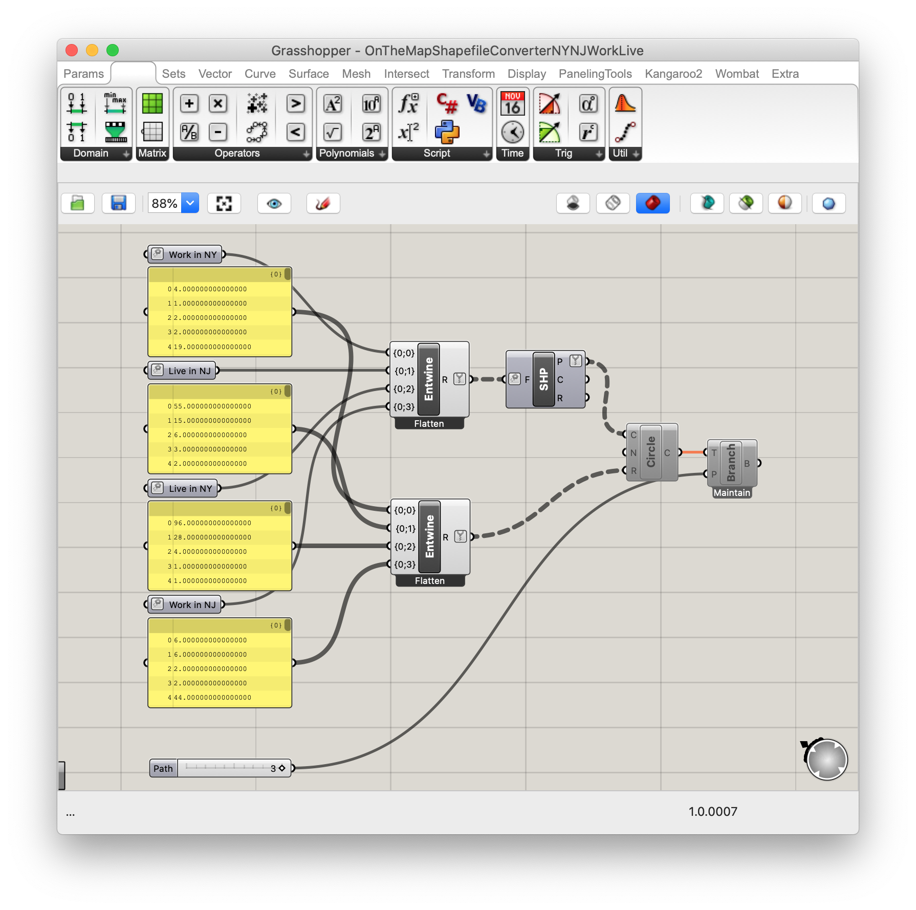
For my Penn State Schreyer Honors College undergraduate Architecture thesis, I exported US Census GIS data about commuting across the Hudson. I integrated the Census block location data with the corresponding number of residents or employees commuting as circle radii using Rhino and a short Grasshopper script, then post-processed the maps using Adobe Illustrator and InDesign. See the data in context and data citations: The Public Plane: Completing the Lower Manhattan Expressway.
My Thoughts on Equity in Capital Planning
Seeking out voices of all stakeholders, amplifying diverse voices, and incorporating ideas from neighbors and experts around the world can lead to more equitable planning. Growing up in a college town with friends and exchange students from around the world, I’ve learned to value ideas and experiences different from my own. As a recipient of Penn State’s Erickson Discovery Grant, I visited 40 European cities, examined their transportation networks and urban spaces, and learned from the planners managing and improving them. I then applied that knowledge in a report detailing implementation in an American context. Synthesis of stakeholder ideas should always incorporate experiences and realities of people who couldn’t share their ideas personally because they work during meeting times or because they don’t yet live in a place due to high housing costs. I’ve often taken opportunities to boost voices not traditionally been heard. Stakeholder engagement for a comprehensive plan in Williamsburg, PA included distanced, outdoor walking discussions to learn from older residents with limited internet access during a pandemic. Capital planning presents the opportunity for government to distribute limited resources to maximize benefit to all stakeholders; I hope to be able to contribute to a more equitable New York.
Questions with Answers in the Facilities Explorer
- Are SNAP centers, libraries, healthcare facilities, and other community facilities accessible to people using all transportation modes? How close are the nearest accessible subway stops, frequent bus lines, protected bike lanes, and accessible sidewalks?
- Are parks and other greenspaces distributed equitably throughout the city? Is population density by census tract or neighborhood correlated with greenspace acreage or specific types of recreation facilities in the same area?
- Are historical sites conserving and sharing the history of all people in New York? Where are historic sites concentrated, adjusting for density and historical land uses? What demographic characteristics are represented/missing in nearby neighborhoods?
- Are city-owned vacant parcels disproportionately located in parts of the city with lower or higher property values? Which facilities do the neighborhoods with vacant land lack, and could the vacant land support that facility type?
- How do the hours of access of privately-owned public spaces differ across the city? Do these differences correlate with nearby pedestrian traffic, resident income, and/or neighborhood demographics?