arch 332 individual studio project | 2019
Lee Washesky, Architecture Lecturer
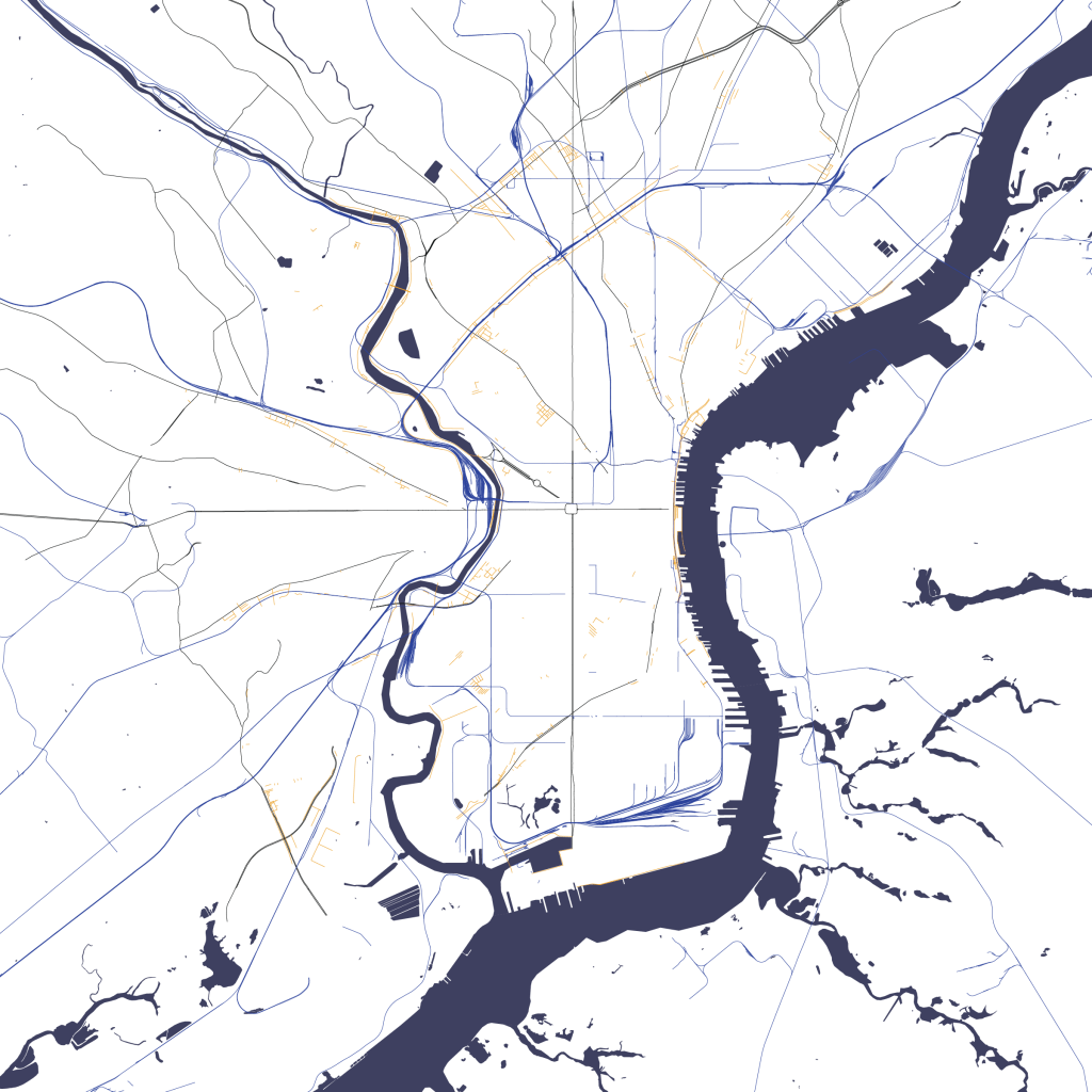
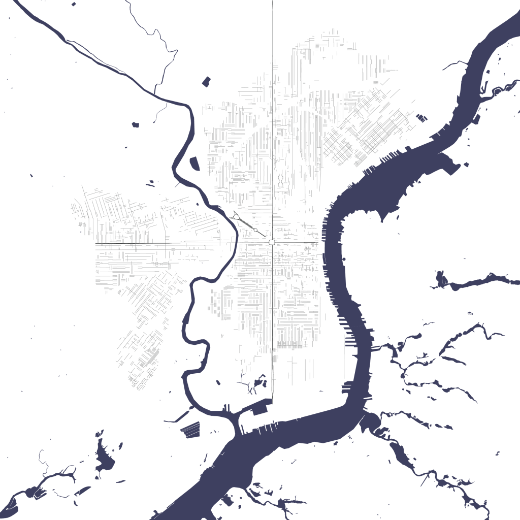
The streets of Philadelphia require decomposition into dozens of layers—separated by time, shape, and orientation—before they can be analyzed. The grid’s foundations are Broad and Market Streets, meeting at City Hall. But the paths which pre-date the grid show that, historically, the intersection of Market and the Schuylkill and Delaware Rivers were more important.


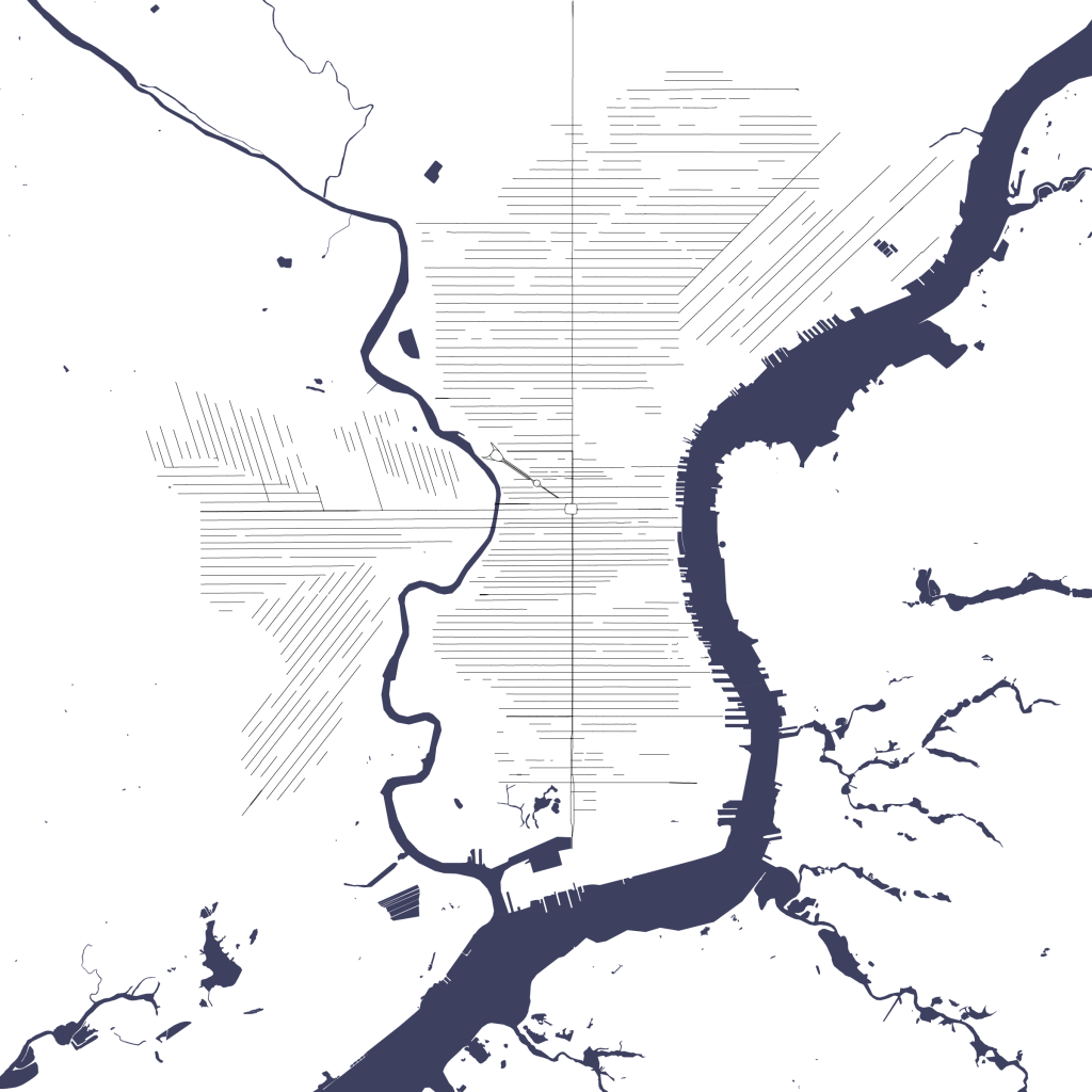
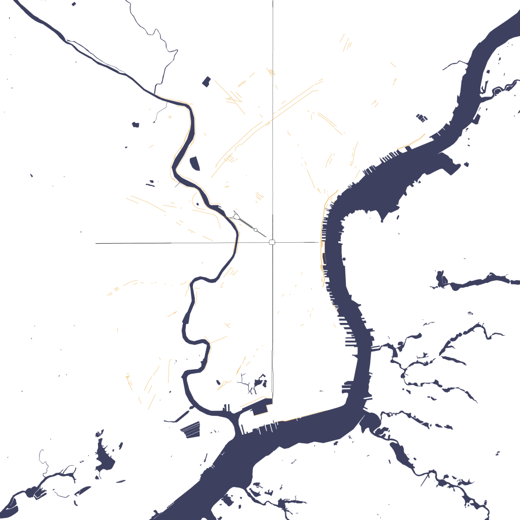
Atop these foundations are the grids, organized radially and circumferentially around the intersection of Market Street and the Schuylkill River. Older streets interrupt the regular grid with slight angle modifications.


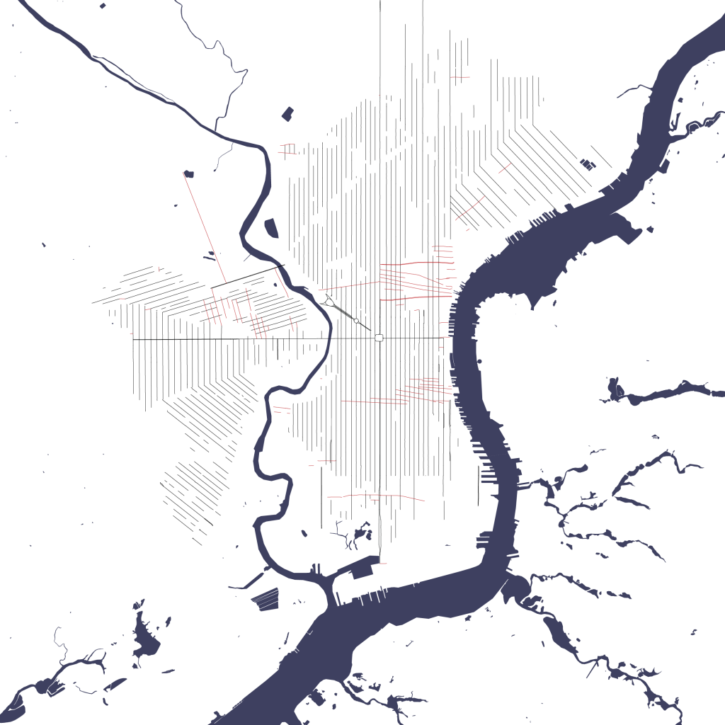
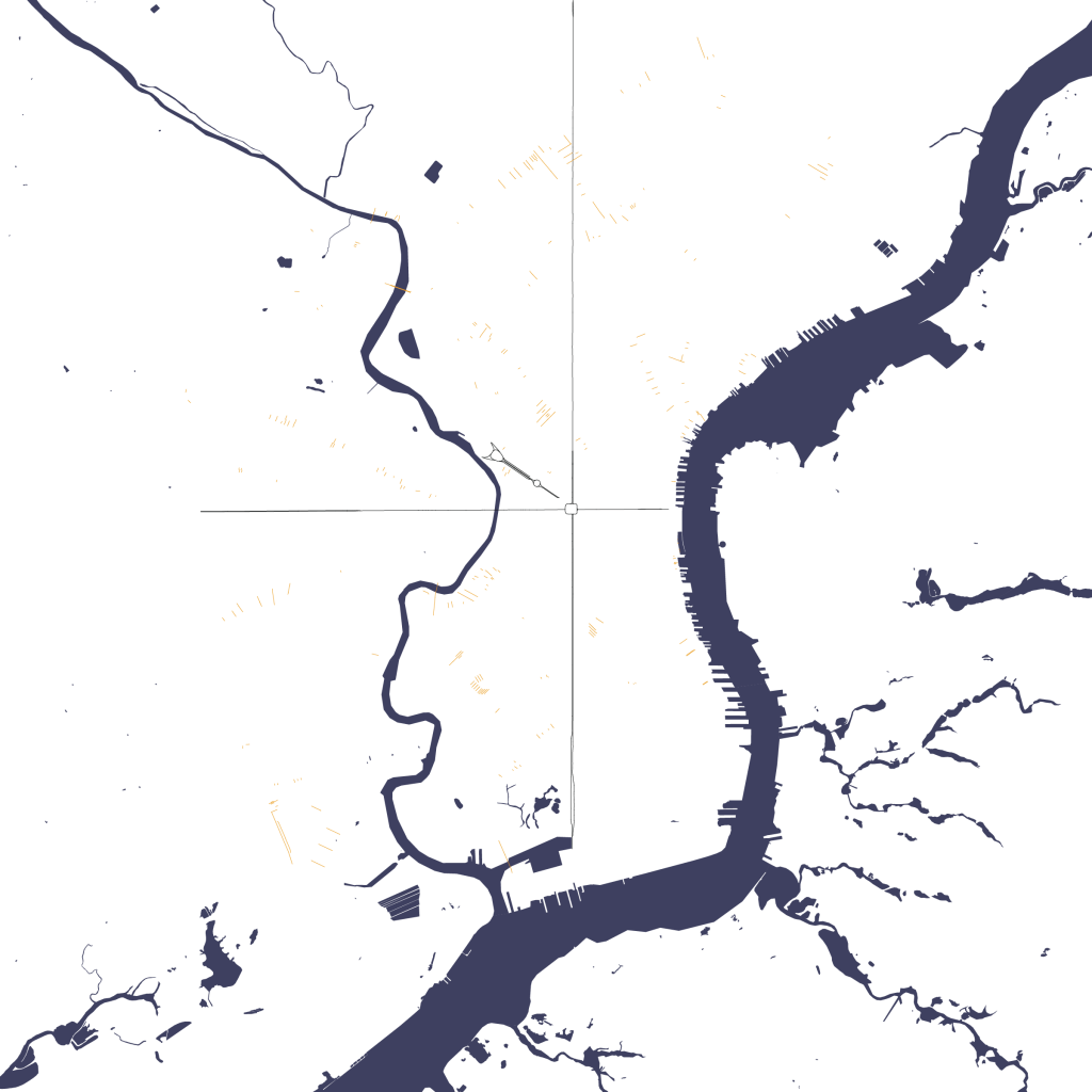
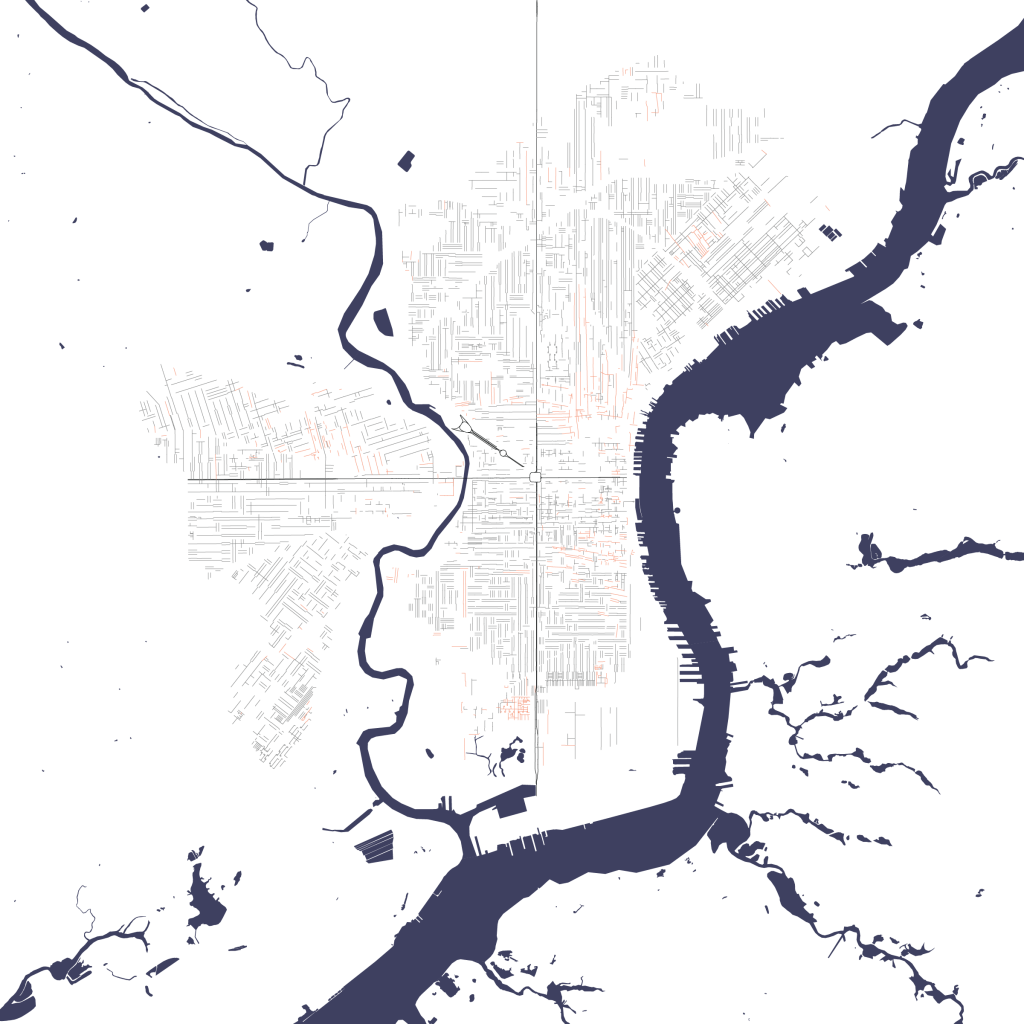
The railroad interrupts the grid and creates its own street patterns. These patterns, when isolated, can expose the railroads they were meant to bridge.
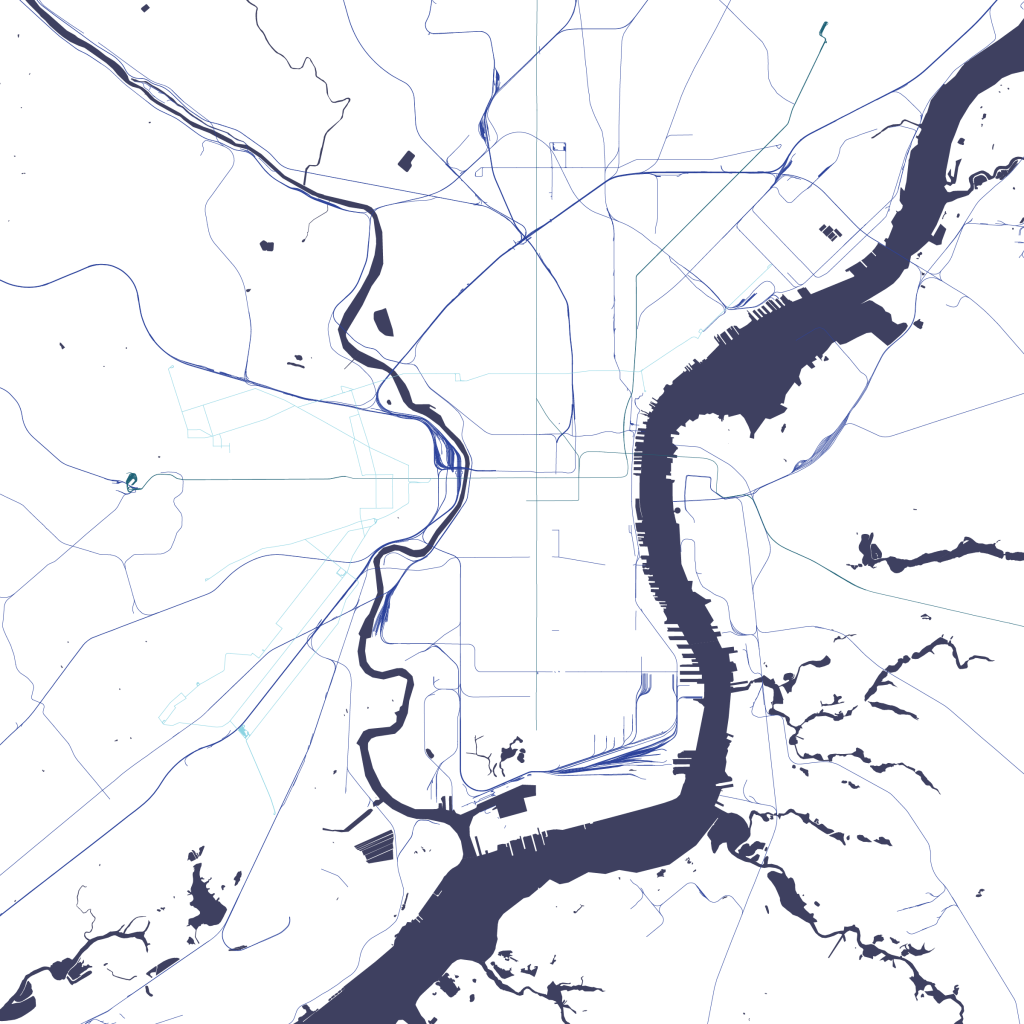
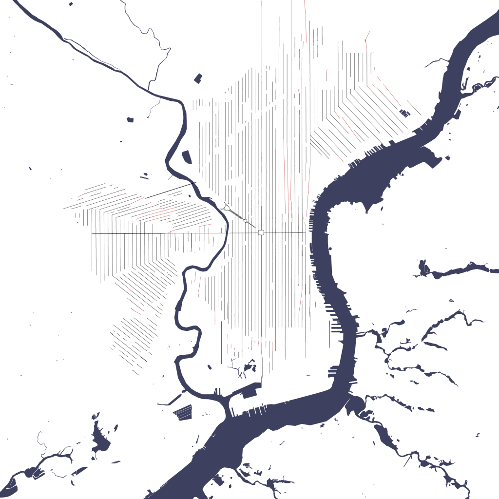
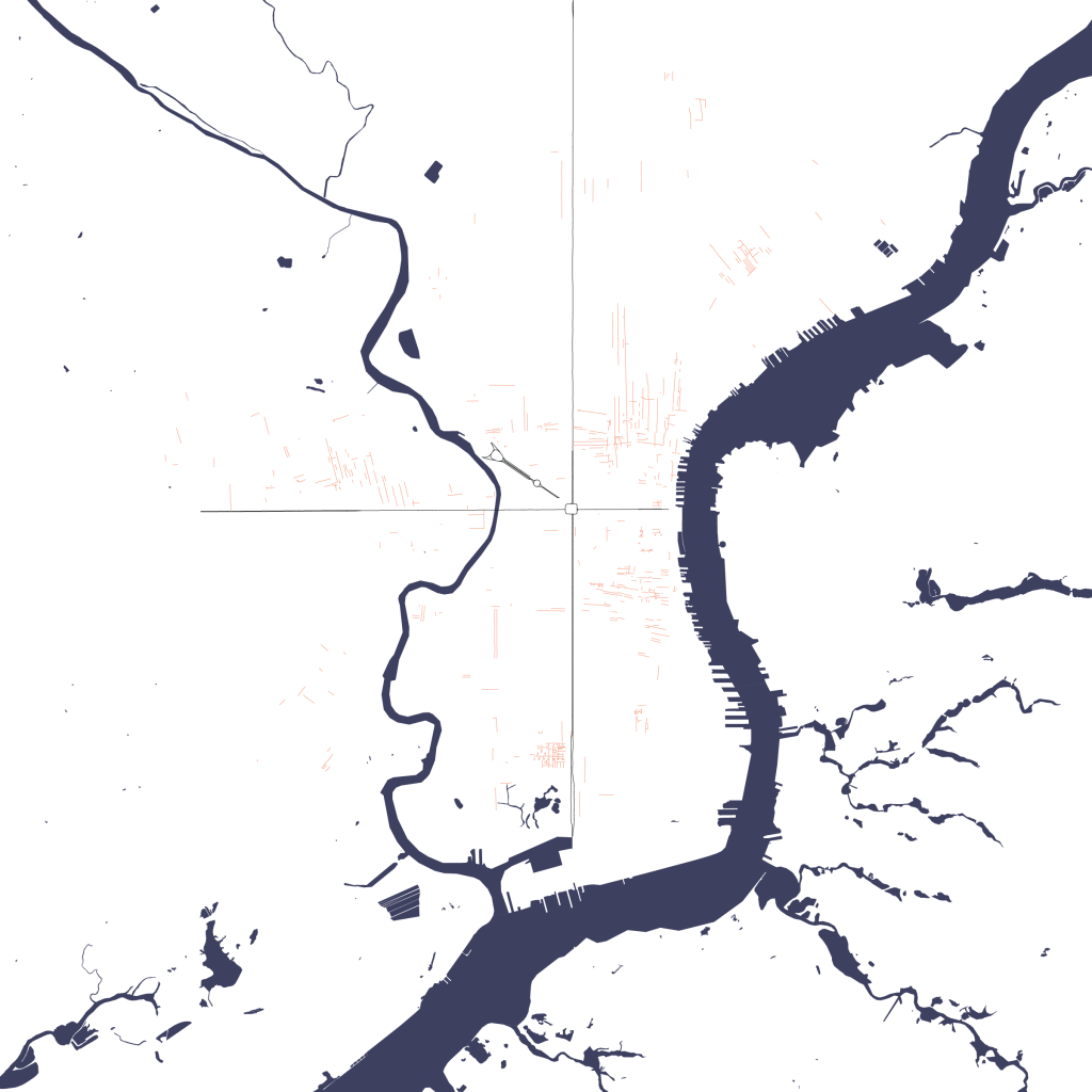
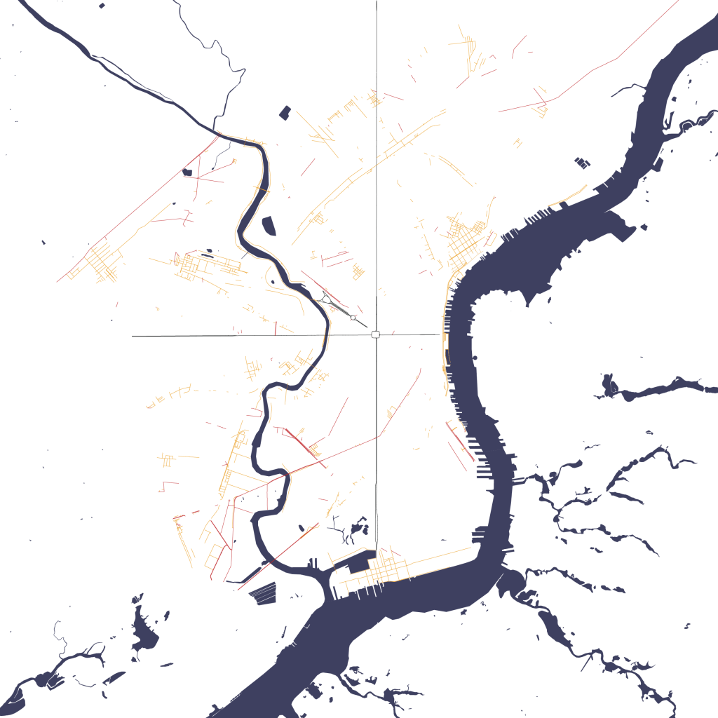
Interior alleys and angled streets connect the grid to itself. Some of these alleys mirror the cardinal directions of the grid, others stray from them.

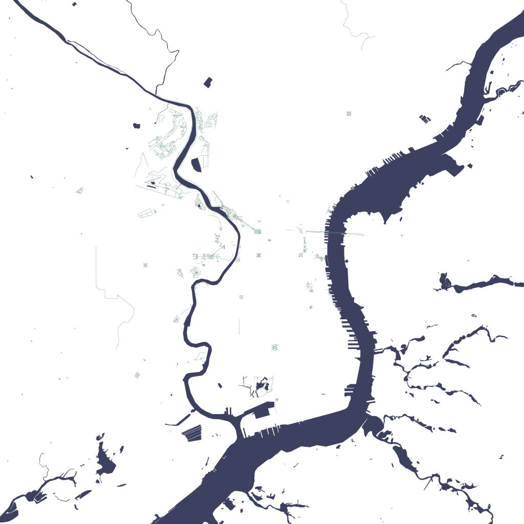
Parks fill the remaining space, some planned as a system extending from city hall, others added where there was extra space.

When the layers are compiled, they create the whole that is Philadelphia. But an overlay of median income displays the impact of the grids: differently oriented grids have wildly different incomes; separators of the grid create stripes of lower income areas across the city.

This analysis was created in association with an architecture studio project for a mixed-use development near the neighborhoods of North Philadelphia and adjacent to Temple University’s campus.